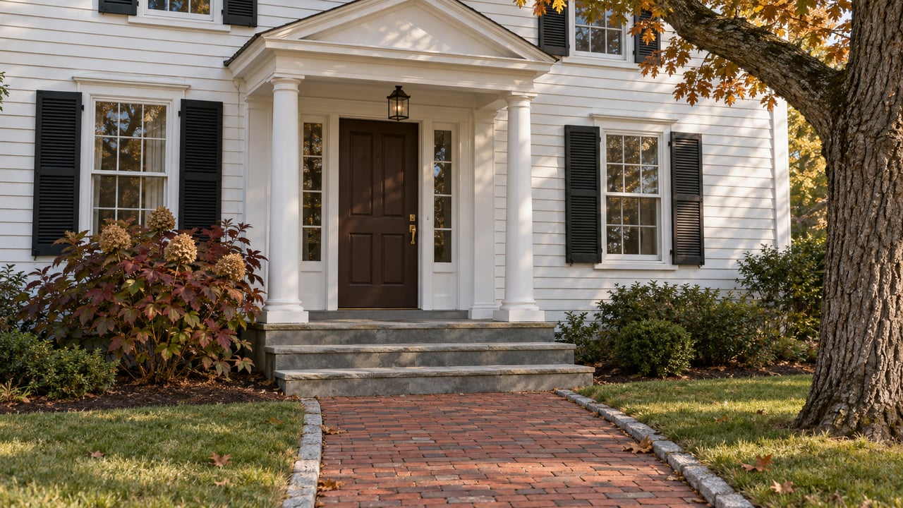
To find Attleboro's newest trail, head south from downtown on County Street for 3.8 miles. Turn right on Read Street, drive half a mile, then turn left onto Morse Avenue. A quarter mile later there's a gravel parking area on the right. That lot is where the Charron Farm Preserve trail starts. It crosses a wetland, then follows the edge of a hayfield that one family worked for three generations.
The Attleboro Land Trust dedicated the preserve on Saturday, October 10. On the trust's map the loop is a small addition. Its real value lies past the hayfield: a forest the trust has owned for more than a decade that the public has never been able to reach.
What Opened on Morse Avenue
The trail is unpaved, mostly flat, and less than a mile long. Catherine Johnson-Roehr of the trust's education and outreach committee told The Sun Chronicle that this makes it an easy hike for most people. The ground has history. The Charron family farmed these 12 acres starting in 1929. During World War II they raised as many as 800 piglets a year and sold them to other area farmers. Electricity and tractors didn't reach the property until after the war.
The farm also helped build Attleboro's commute. In 1959, crews leveled parts of the property to supply gravel for Interstate 95. In 1987 the family sold its livestock, and after that the land grew only hay and vegetables.
The family donated the land to the trust in 2023, making it the trust's 10th property. They also removed 22 structures, barns and sheds among them, so the parcel could become public open space. The trust then built the parking lot, cleared the trail, and is still adding signs. Ted Charron, a local artist, was among the family members who donated the land. He served on the trust's board from 1997 to 1999, edited its newsletter, and designed its logo.
The 28 Acres on the Other Side of the Hayfield
The land trust's announcement of the gift described a bigger plan than the trail that opened Saturday. The planned route would start at Morse Avenue, cross wetlands, circle the hayfields, and then continue into the adjacent 28-acre Shaw-Denham Memorial Forest.
That last step was the point. The Denham family donated Shaw-Denham to the trust in 2013, and the trust's own description calls the forest landlocked ever since. With no public way in, the forest has been protected but off-limits to walkers. The gift announcement said that finishing the Charron trail would open Shaw-Denham to the public for the first time. It also said Charron itself would stay closed until that trail was complete, which might take a year because the route needed boardwalks.
Things happened in a different order. Charron opened first. Its loop goes around a hayfield and former farmland. When the trust announced the opening, it called the parcel "a key acquisition that has the potential to connect additional public conservation acreage." In The Sun Chronicle's coverage, Johnson-Roehr said the trust hopes to eventually extend the trails into Shaw-Denham. You may come across the trust's online Charron map. It's labeled a "proposed trail route," and it marks the gravel parking as "to be completed." Treat it as a plan. It doesn't show the trail you'll walk this month.
What's open now is a short farm loop, and the one parcel that can link Shaw-Denham to a public road is in hand. For an organization that protects 740 acres in the Attleboro area through ownership or conservation restrictions, getting that link matters more than the hayfield itself.
"You go there and you can take a walk in the woods and you can see wildlife, get away from traffic. And it's within the city, which is really great."
Catherine Johnson-Roehr, speaking to The Sun Chronicle
She added that deer and turkeys are often seen along the trails.
Attleboro's Trails Keep Starting on Someone Else's Land
Shaw-Denham's situation isn't unusual in Attleboro. Look at where you park for the city's other preserves and the same pattern shows up again and again. The land you walk and the land that gets you in are often two different parcels, and sometimes they belong to two different owners.
| Preserve | Where you walk | Where you park |
|---|---|---|
| Charron Farm Preserve | Hayfield loop off Morse Avenue | Trust's own gravel lot on Morse Avenue |
| Vaughan Memorial Forest | Green Dot Trail, 225 Steere Street | The lot at Colman Reservation |
| Joseph and Margaret O'Donnell Nature Preserve | Beech Point Trail off Bishop Street | Finberg Field |
| Anthony Lawrence Wildlife Preserve | Along the Seven Mile River, 45 Hope Avenue | On the street |
| Larry St. Pierre Trail, Handy Street Conservation Area | 109 Handy Street | Limited spaces on site, overflow on Doral Lane |
Vaughan Memorial Forest is the closest match to what Charron could do for Shaw-Denham. Its trail map sends walkers to the parking lot at Colman Reservation. According to the trust, an Eagle Scout candidate finished a loop at Colman that starts and ends at the Steere Street lot. The loop passes a Giant Hemlock and crosses wetlands on boardwalks. One lot gets you into two preserves.
The O'Donnell preserve on Bishop Street works the same way, borrowing parking from Finberg Field for its 0.7-mile trail. That trail runs through red maple and pine, past wetlands and stands of beech and birch, and the map marks a vernal pool. At the Lawrence preserve, the trust's 2026 walk listing asks people parking on Hope Avenue not to block driveways or mailboxes. In this city, the trailhead often sits in the middle of a neighborhood.
Seen against that table, Charron's gravel lot does more than serve one hayfield. It gives the trust its own front door on Morse Avenue, and that door already faces Shaw-Denham.
Choosing a Walk by the Ground Underfoot
Most of these preserves are short, so the bigger difference between them is terrain. Charron is the flattest of the group, and Lawrence asks the most of your feet. The trust describes the Lawrence walk as woods first, then marsh and shoulder-high grass on uneven ground along the Seven Mile River. At 577B Wilmarth Street, the Deborah and Roger Richardson Nature Preserve mixes fields, forest, wetlands, gardens, and old farm features. The Wyman Loop there crosses the Lower Hayfield. Richardson also hosted the last event of the trust's summer series, a September birding walk. Nineteen people came and spotted Downy Woodpeckers, Gray Catbirds, a White-breasted Nuthatch, and a large flock of Common Grackles gathering for fall migration.
Mass Audubon's Oak Knoll Wildlife Sanctuary at 1417 Park Street offers a useful comparison. It has 1.5 miles of trail across several loops, and the sanctuary is open daily from dawn to dusk. The loops are short and graded by difficulty:
- Talaquega Trail: 0.2 mile, mostly flat with gentle slopes and a wetland boardwalk.
- Woody's Way: 0.3 mile of roots and rocks, with boardwalks around Lake Talaquega.
- Puddingstone Loop: 0.3 mile through rocky woodland.
If you'd like some company on the trail, Oak Knoll's Woodward Discovery Days: Bats & Spiders runs Saturday, October 24, from 10 a.m. to noon. It's free for adults and families, includes an optional trail walk, and requires registration. On the trust's own calendar, the October listing was the Charron dedication and guided walk.
What Is Still Unfinished on Morse Avenue
The trust has several open items at Charron. It is still adding signs, and it is working to get the preserve its own numbered street address, separate from the family's house. The biggest item is the connection to Shaw-Denham, and no date has been published for it. Until then, the hayfield loop is the whole walk. A trail of less than a mile is short enough to fit into an afternoon this fall, and walking it now means seeing the farm before the trail goes any further.
Trail conditions and weather cancellations are posted at attleborolandtrust.org. The access notes for the older preserves above come from trust pages that don't show a date, so check that site before you head out.
If your own plans involve land, a farmhouse, or a home near one of these preserves, Ashley Fuller would be glad to walk through what you're weighing over coffee. Let's Connect.